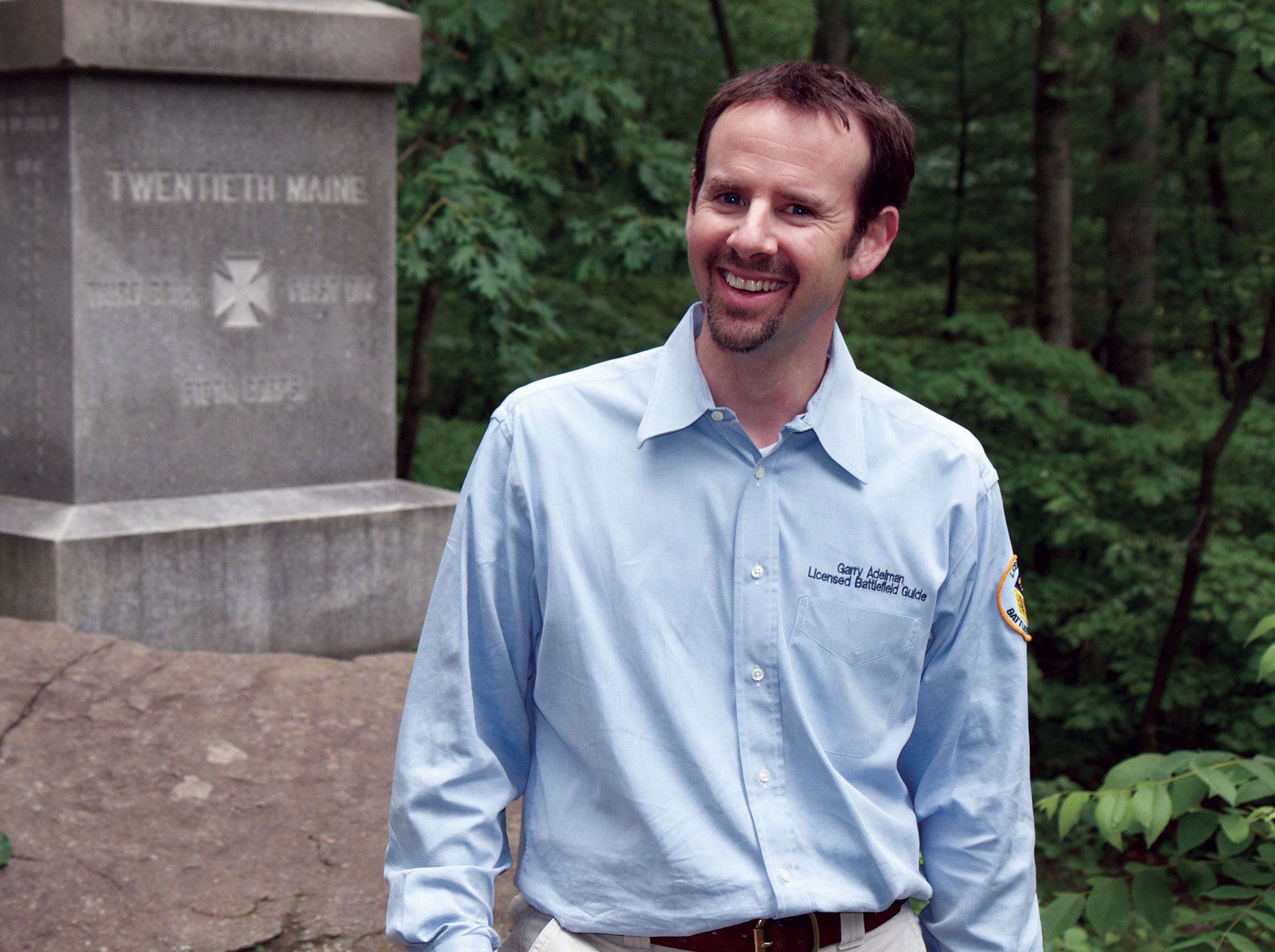
Garry Adelman
While Civil War Enthusiasts have seemingly countless locations they might visit to feed their interest, few sites hold the allure of Gettysburg, Pennsylvania. Every year, some 3 million people descend upon the small town (population 7,622 in 2011) to walk its historic streets and trek across its expansive battlefield park, looking to bring themselves closer to the monumental events that occurred there in 1863. It’s a trend that promises to continue as we celebrate the 150th anniversaries of the epic battle in July and Abraham Lincoln’s delivery of the Gettysburg Address in November.
Interested in visiting Gettysburg? To help make the most of your trip, we enlisted an expert on the town and asked for his 10 favorite spots on or near the battlefield.
 Steven Stanley
Willoughby’s Run
1. Willoughby’s Run
Willoughby’s Run saw the opening action at Gettysburg when Confederates from James J. Archer’s brigade clashed with Federals from the Iron Brigade. There, I can picture Tennessee and Alabama soldiers charging through and then being forced back across the sluggish stream. I can be at peace at the place where the Civil War’s greatest battle began in earnest. In 23 years, I have never seen another visitor there.
 Bruce Guthrie
Oak Ridge
2. Oak Ridge
Oak Ridge witnessed the initial repulse and then success of Robert E. Rodes’ Confederate division over Union I Corps soldiers on July 1. Its shortened War Department observation tower still provides magnificent views of most of the first day’s field and to the town and beyond. I can never inspect Oak Ridge’s many monuments without envisioning the tragedy of Alfred Iverson Jr.’s brigade, whose North Carolinians were slaughtered to the west in Forney’s Field.
 Michael Waricher
Gettysburg Square
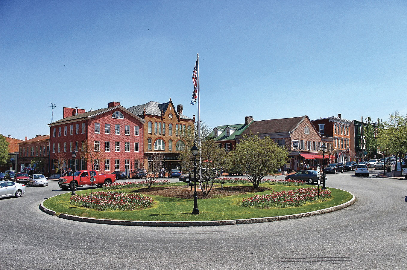
3. Gettysburg Square
Gettysburg Square is quite literally the center of all things in Adams County, Pennsylvania. Despite the seemingly ever-present traffic and noise, I can walk around the hub of the town as laid out by James Gettys in the 18th century, find the site of his tavern (look for the marker behind the Gettysburg Hotel), fast-forward in my thoughts to see the Confederate flag being hoisted above the town, and trace the walk that President Abraham Lincoln took from the train station to the Wills House on the eve of the Gettysburg Address.
 Michaael Waricher
Big Round top
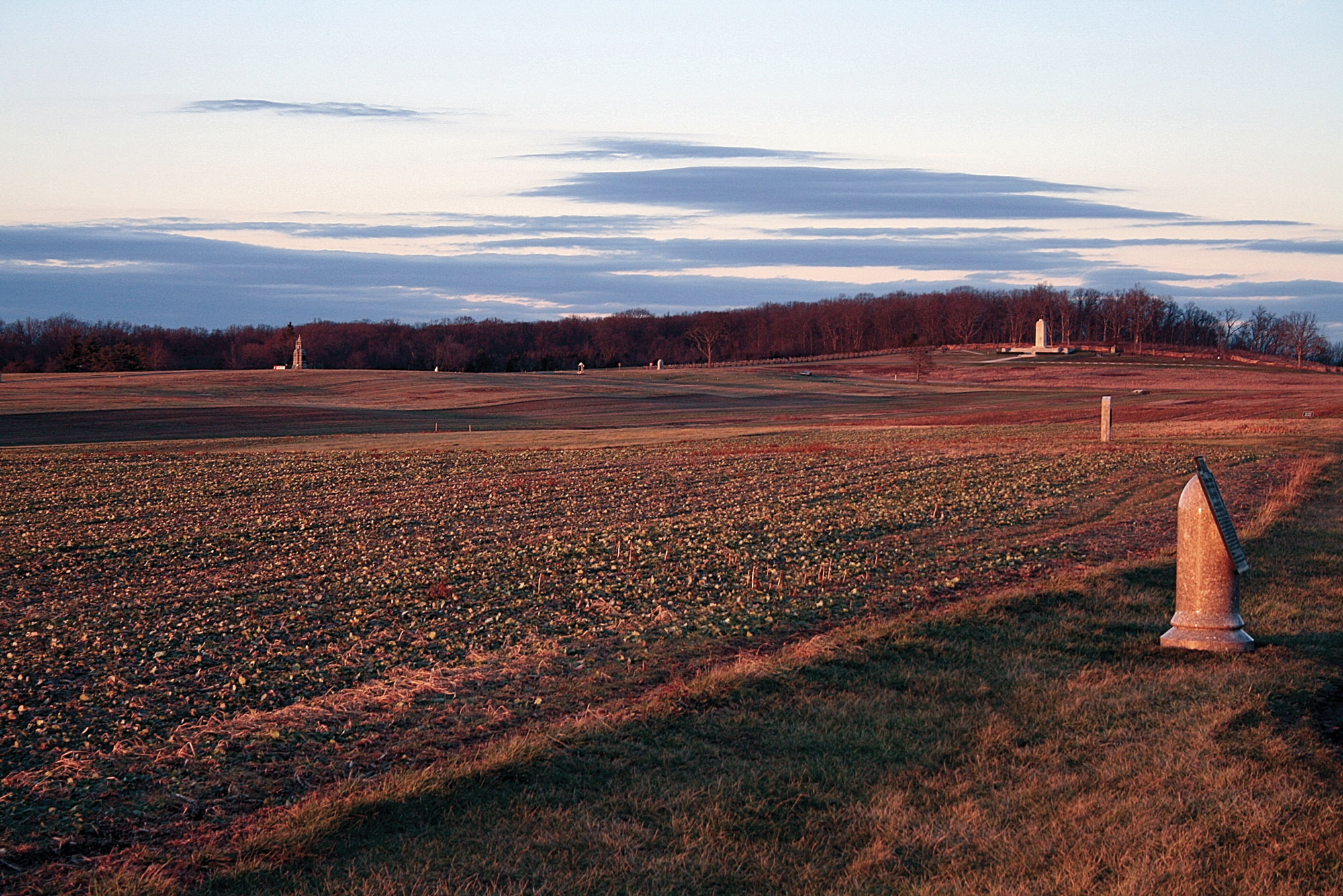
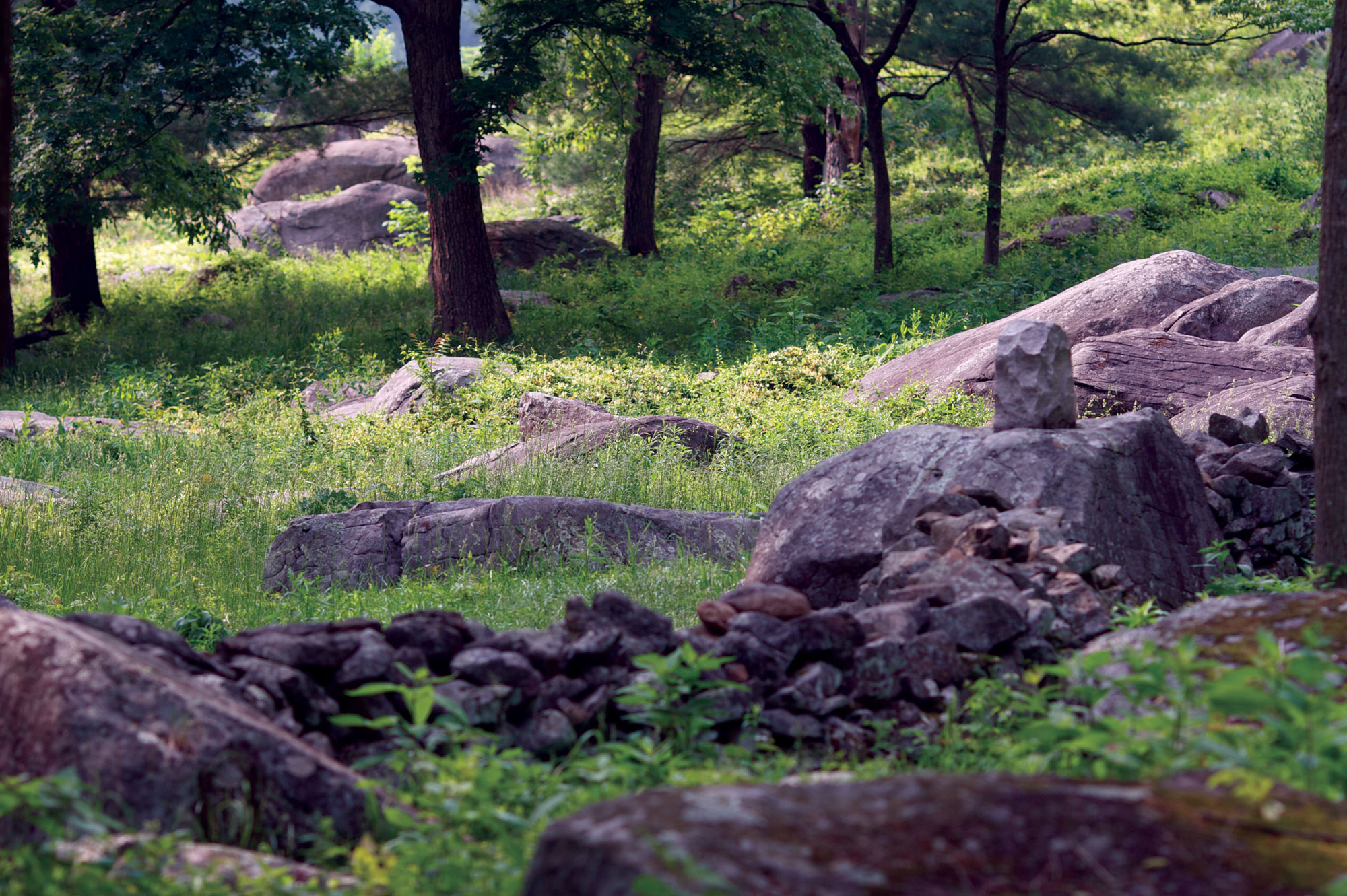
4. Wooded Foothills of Big Round Top
The wooded foothills of Big Round Top comprise an odd combination of the beautiful and the horrific. The serenity of the place today belies the fighting there on July 2 and 3, 1863. On these slopes, I walk on and off trail, hike through the Devil’s Kitchen, descend to the Slaughter Pen, and picture the fighting from Little Round Top to Devil’s Den to the ill-fated charge of Elon Farnsworth’s brigade of Union cavalry. In a light rain in 1991, I read more than 200 pages of Harry Pfanz’s Gettysburg: The Second Day while overlooking the very scenes he brought to life.
 Rob Shenk
Devil’s Den
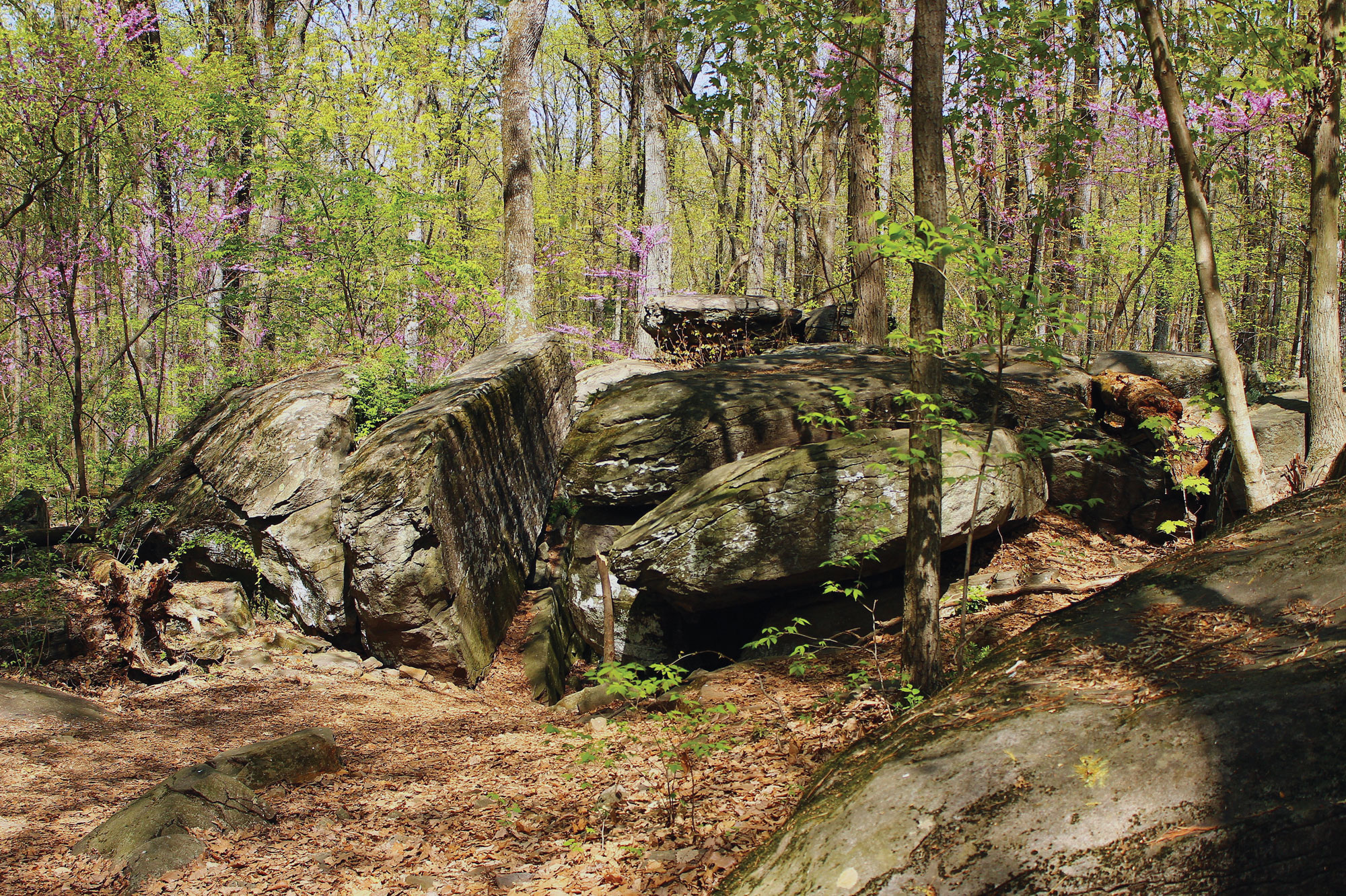
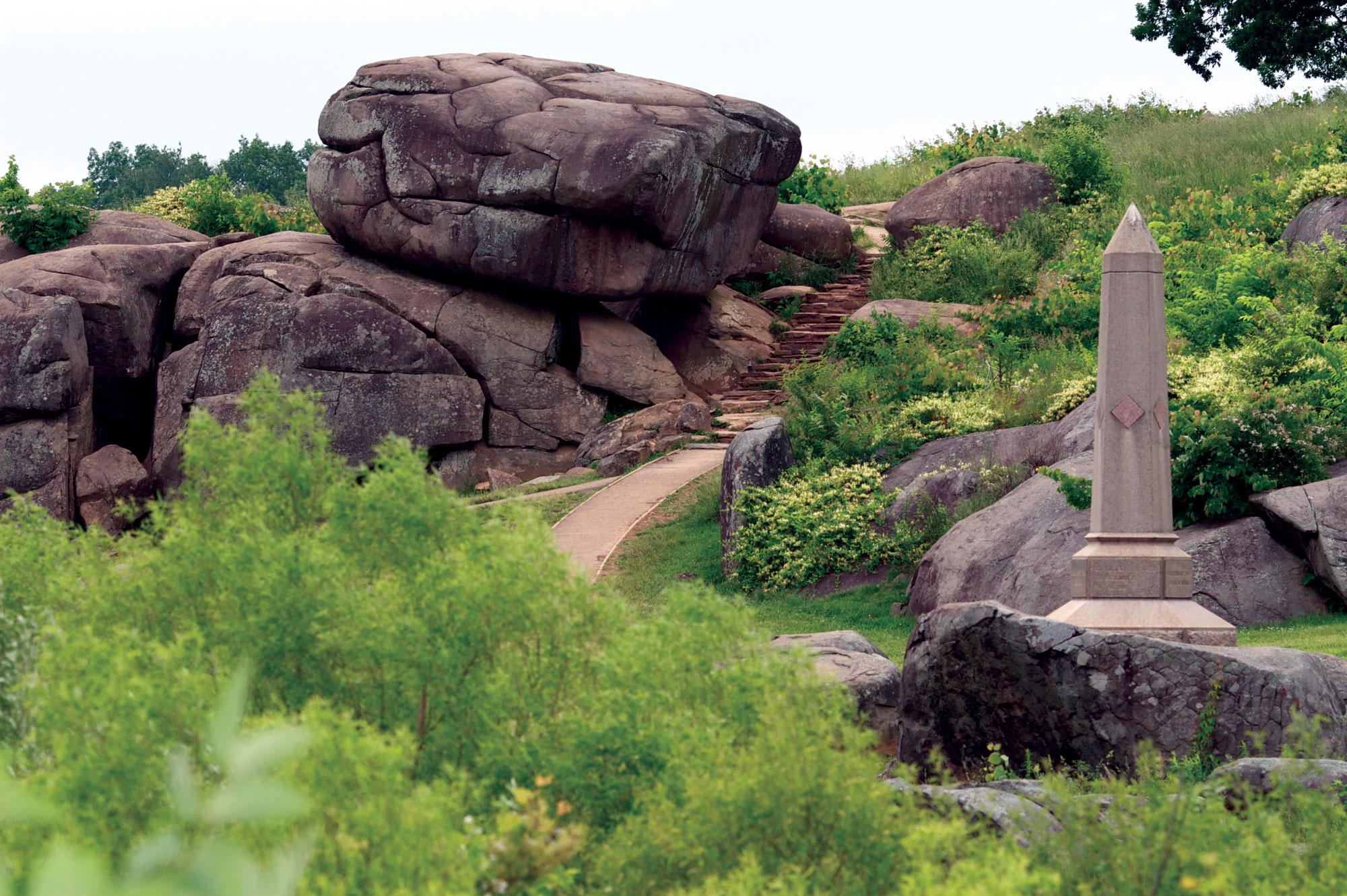
5. Devil’s Den
Devil’s Den is my favorite place in the world. Its scenic beauty alone warrants its designation as a national park, but it has also hosted a terrible battle, abundant documentary photography in the postwar years, and a fascinating struggle between business interests and the government that almost resulted in Gettysburg becoming a giant amusement park instead of a historic shrine. Here, visitors can hike in the footsteps of soldiers and veterans, touching the same rocks that appear in the striking post-battle photos of Confederate dead among the boulders. Even in one of the Civil War’s most popular places, I can experience a little thrill of danger and find tranquility in one of its caves.
 Rob Shenk
Little Round Top
6. Little Round Top
Little Round Top has become so popular in recent decades that it’s almost a cliché, but my attraction to the most well-known of all Civil War hills endures. With its unparalleled vistas I can see and explain not only the fight for Little Round Top, but all of Confederate general James Longstreet’s July 2 attack. Seeing what the soldiers saw, walking where they charged, and seeing and touching the fortifications they built opens a window to the past for me. Transformative, temporal experiences are legion on this rocky Gibraltar.
 Garry Adelman
The Rose Farm
7. The Rose Farm
The Rose Farm saw heavy combat on July 2 between Joseph B. Kershaw’s and Paul J. Semmes’ Confederate brigades and John R. Brooke’s Union brigade. But for me, Gettysburg’s bloodiest farm is more about the aftermath than the fighting itself. The Rose Farm was little known until 1975, when historian William A. Frassanito identified it as the site of numerous Civil War photos of human carnage. In fact, the 12 Alexander Gardner negatives showing 44 Confederate bodies represent the most photos of Civil War dead recorded anywhere. Here, I reflect upon the horror of a battle’s aftermath, trace the steps of Alexander Gardner’s crew, and am often moved by the nightmare that faced Gettysburg farmers in 1863.
 Michael Waricher
Upper Culp’s Hill
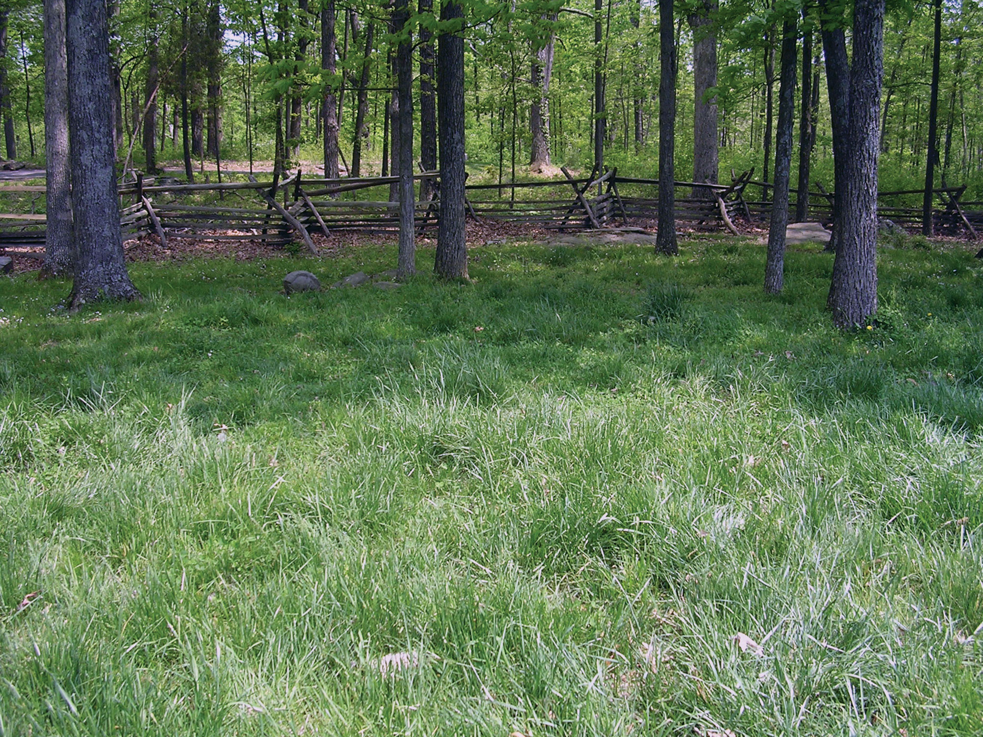
8. Upper Culp’s Hill
Upper Culp’s Hill was never captured by Confederates, but not for lack of effort on all three days of the battle. The July 1 attempt was only a scouting mission, but the next two days saw intense and bloody efforts to capture the crest. I love roaming the hill; it is rarely crowded and the scores of 1860s images taken here allow me to stand where photographers stood and picture the Culp’s Hill of old. When hiking the steep eastern slope, seeing the earthworks, or gazing down upon Cemetery Hill from the elevated crest (or tower), I am reminded why the Confederates failed to capture the hill even with superior numbers and how much more militarily significant it was than Little Round Top.
 Garry Adelman
Lower Rock Creek
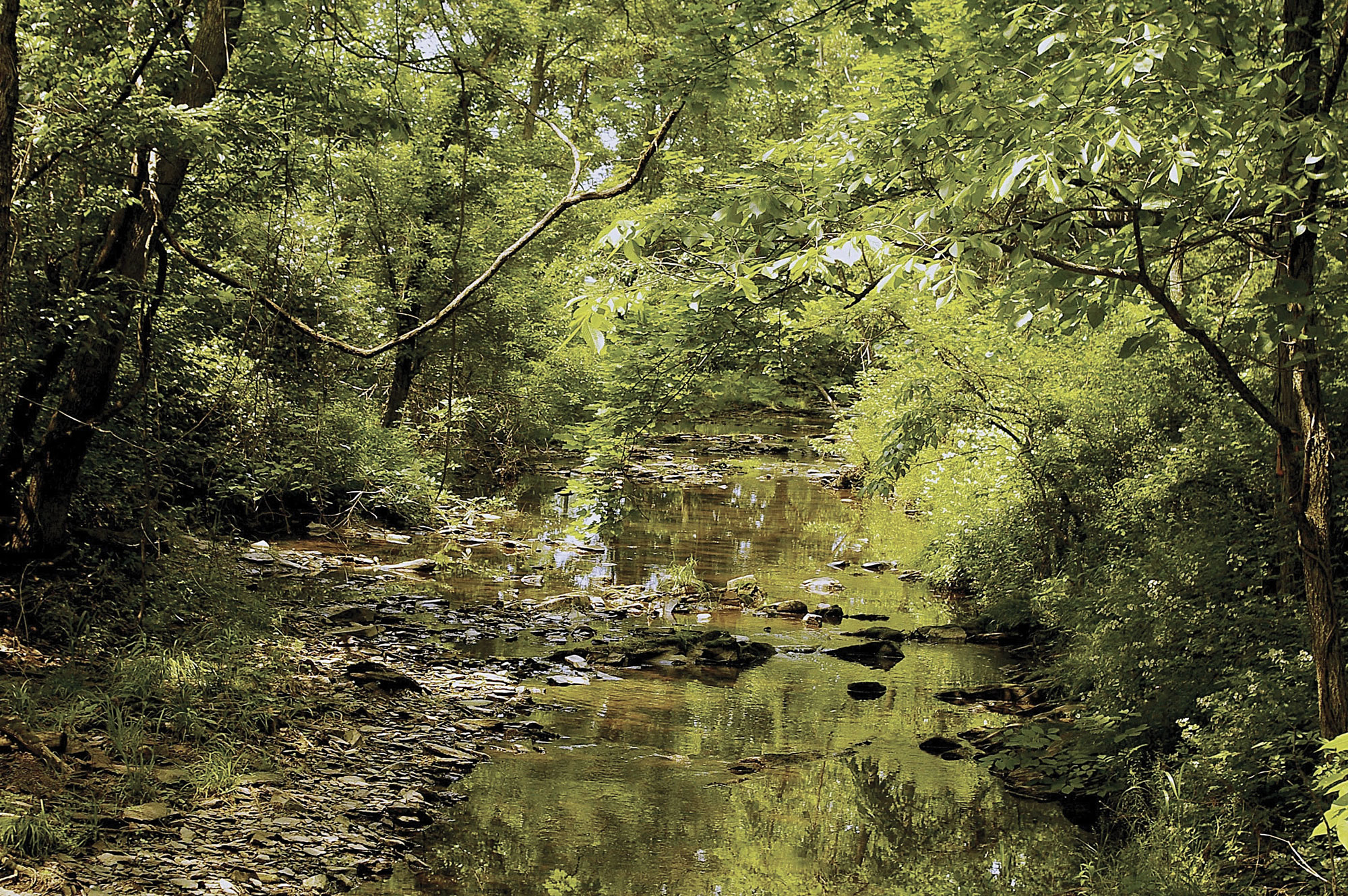
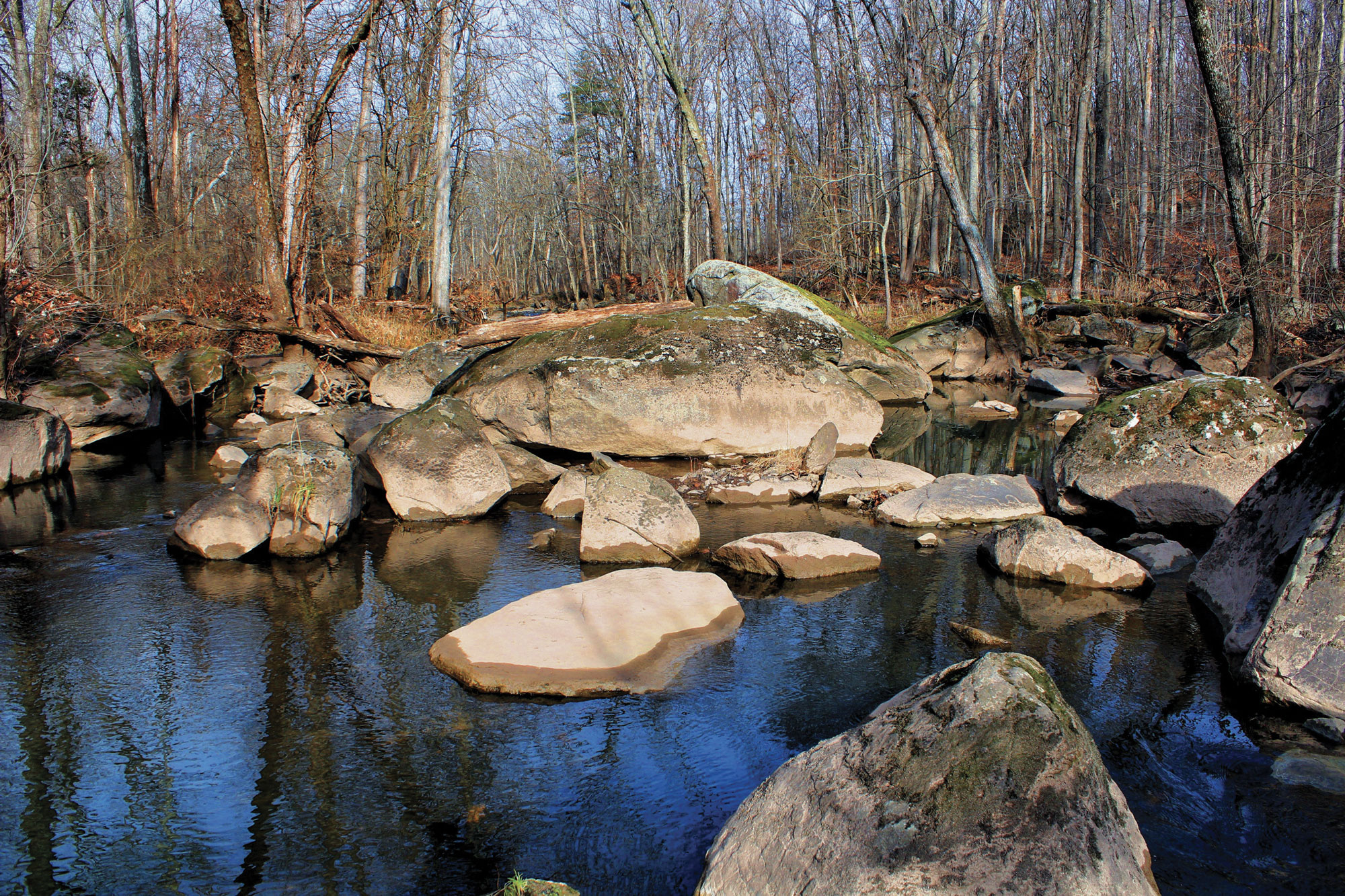
9. Lower Rock Creek
Lower Rock Creek was crossed by Confederates en route to Culp’s Hill. Union soldiers from the XII Corps and Confederates of Edward Johnson’s division skirmished along and across the watercourse on July 2 and 3. Walking along the creek puts me near Spangler’s Spring (the scene of heavy fighting on July 3) and close to Neill or “Lost” Avenue (the extreme Union right flank), and allows me to see the site of McAllister’s Mill (a documented stop on the Underground Railroad). When I need a challenge, I enjoy searching for 19th-century swimming holes.
 Library of Congress
East Confederate Avenue
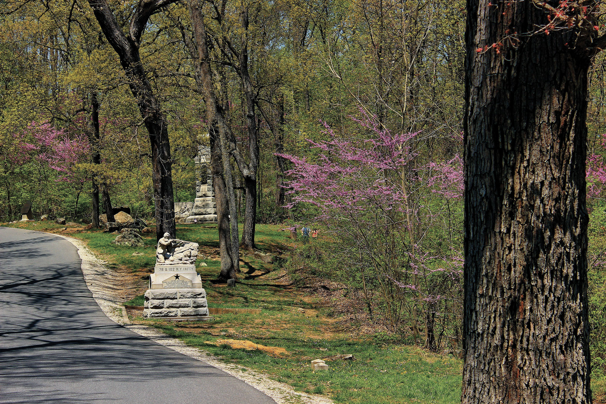
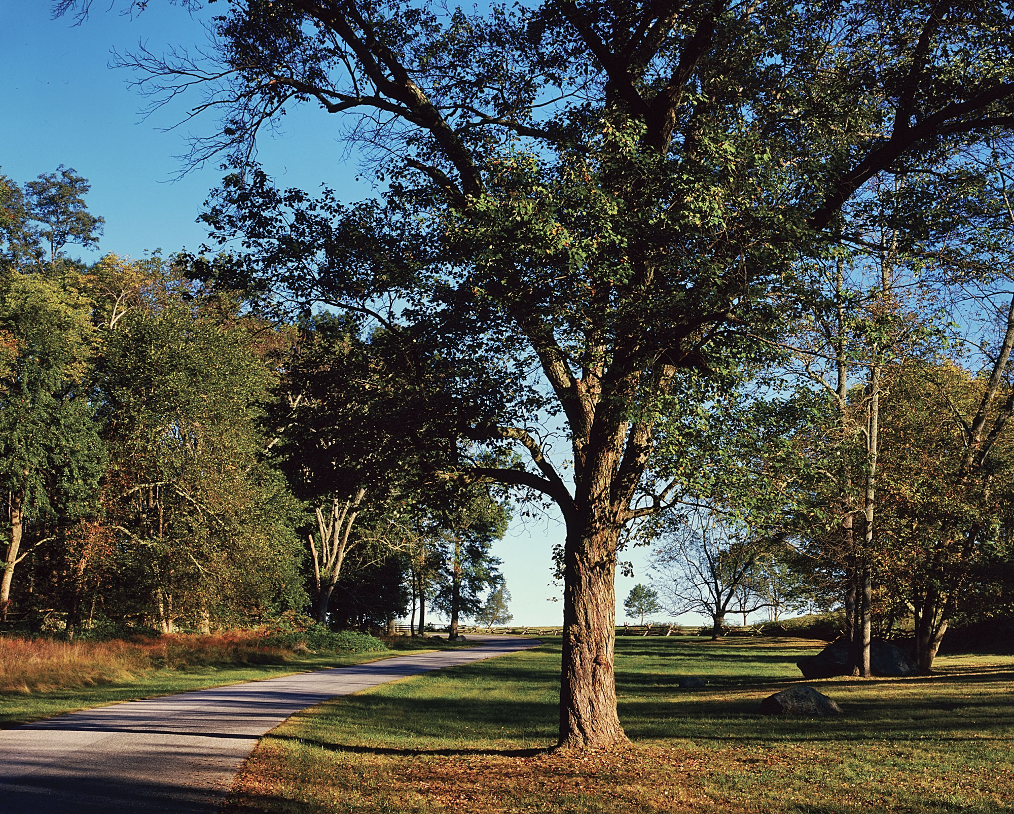
10. East Confederate Avenue
The beautiful curves of East Confederate Avenue were not there during the battle, as the avenue was not constructed until 1900. But the road’s twists and bends between Rock Creek and the high wooded hills, its ever-changing foliage, and its beautifully maintained stone walls make it my favorite Gettysburg road to traverse, especially on a bicycle.
Garry Adelman is director of history and education at the Civil War Trust, vice president of the Center for Civil War Photography, a licensed battlefield guide at Gettysburg, and the author, co-author, or editor of 20 Civil War books, including Devil’s Den: A History and Guide (1997) and Gettysburg in 3-D (2013).