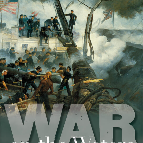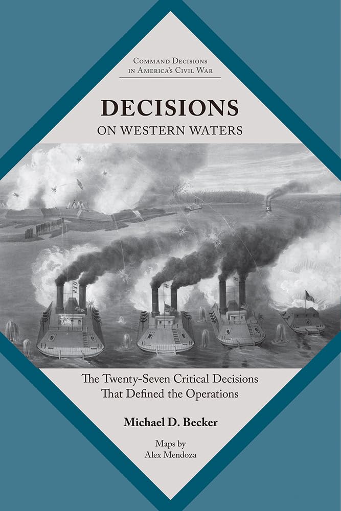
Michael Becker’s Decisions on Western Waters is the latest in the University of Tennessee Press’s Command Decisions in America’s Civil War series. As with other books in the series, this is not a standard narrative of the campaign. Instead, it focuses on the critical-decision methodology by looking at key decisions that impacted the course of the war spanning the Mississippi River Valley. The book follows a standard, repeated format by introducing a critical moment, evaluating options leaders might have taken, and then exploring the ultimate decision made and how it impacted events overall.
Though it follows the same critical-decision methodology of other books in the series, Decisions on Western Waters differs by exploring the largest area yet. Instead of looking at a specific battle or campaign, Becker tackles the entire war in the Mississippi River Valley. Chapters cover the years 1861, 1862, 1863, and 1864, though the bulk of the book focuses on decisions in the conflict’s first two years. The book also includes a chapter of analysis and conclusions, a driving tour of sites mentioned, numerous orders of battle for both sides in multiple campaigns, and a glossary of naval terms.
The book’s critical decisions include tactical minutiae, leadership choices, communication methods, and strategic policies. Overall, I found Becker’s list of critical decisions both varied and rightfully chosen, even if I did not necessarily agree with the viability of all the alternative options he offered.
There are a host of shortcomings that prevent Becker’s work from being as good as I hoped it would be. The book does not make use of any archival materials. Indeed, most of the bibliography’s resources are secondary works from other historians. Only the Official Records (both the army and navy collections) are listed as firsthand accounts. From what I have seen from other books in this series, this is commonplace, but it detracts from the work’s quality. In one of many examples, when discussing the order creating the federal blockade, an endnote references secondary works instead of Lincoln’s actual blockade declaration. Regarding the secondary sources, Becker makes use of many of the best modern books available, though his citing of them is inconsistent. He will often list the same book repeatedly in sequential endnotes and cite the same page numbers in each endnote – often with a 60–100-page range for each note. Smaller page ranges for specific information were expected and would have been appreciated. In addition, endnote 85 is missing for chapter 2, and there are no endnotes for chapter 5.
Another element of the book I was disappointed in was the maps. When I first received the book, I did an initial scan of the pages and immediately recognized four of the book’s maps as almost identical to ones I commissioned into my own work. These maps (on pages 40, 56, 80, and 124 in Becker’s book) match up in scale, unit positioning, and scope with maps on pages 31, 118, 99, and 269 respectively in my own Defending the Arteries of Rebellion. Though made by a different cartographer and using a slightly different style, it was apparent that maps I commissioned and own were used to create four used in this book. While the maps are slightly different (and I recognize that different maps of specific locations or battles can often mirror one another simply because that is what the geography was), I was ethically disappointed in just how close the maps in Becker’s book resembled ones I own.
I reached out to the University of Tennessee Press about this, and their editors responded with, “The four maps you noted were, in fact, used as example maps for cartographer Alex Mendoza. This is fairly common practice among Civil War mapmakers. … It’s typical to use a base map as an example for the cartographer but then to produce that map in a particular style, in this case based on our series’ overall style, and make changes to the map in order to emphasize names, places, troop movements, etc., based on the author’s narrative. That’s what we have done here.”
I truly looked forward to this book, but a host of issues compounded together to create a book that does not reach its potential. The book could have used a better editor to tighten prose, double check citations, and ensure maps were more original. The book’s premise of expanding the Command Decisions in America’s Civil War to a larger system of campaigns instead of one smaller battle was good, but its execution fell short.
Neil P. Chatelain teaches history at Lone Star College and is the author of many books on the Civil War navies.