The nonprofit Center for Civil War Photography (civilwarphotography.org) is devoted to collecting, preserving, and digitizing Civil War images.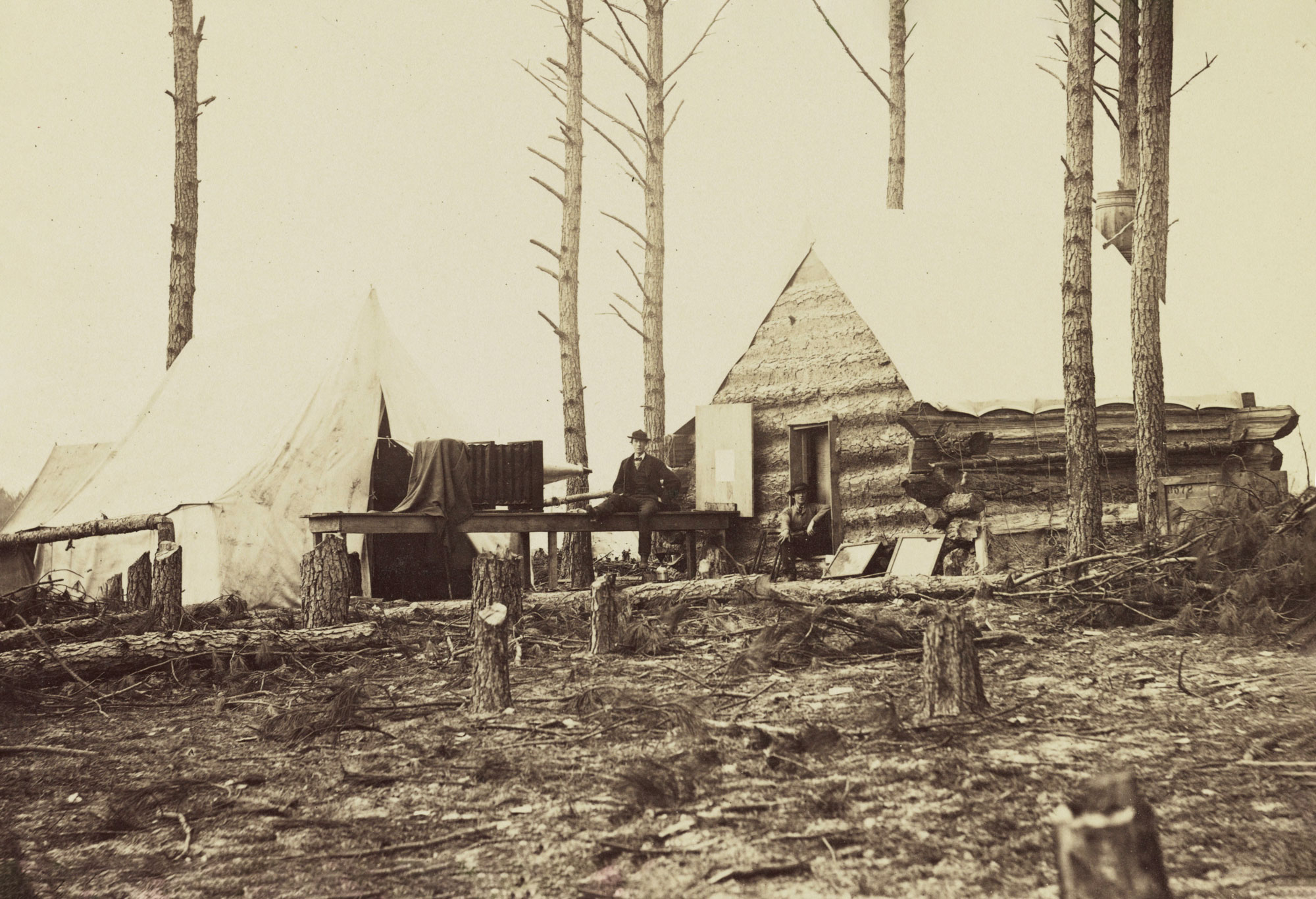 Library of Congress
An important but little-known aspect of military logistics in the field during the Civil War was the photoduplication of fresh maps to help commanders navigate changing landscapes.
This image from Alexander Gardner’s gallery was made at the Union Engineer Corps camp at Petersburg in March 1865 and may be the only wartime photo showing how maps and other documents were reproduced. Images of maps were taken on glass plate negatives that were then used to make as many photo prints as needed.
No exact figures on photographic mapmaking exist for either army, though more than 40 Union reports published in the Official Records mention the use of photographs or photographic maps. And an 1863 War Department annual report said the department had produced 1,914 photographic maps during the conflict’s first two years.
Photographic mapmaking in the Confederacy was far less common but was done. Of the 101 maps that noted cartographer Jedediah Hotchkiss said he and other Confederate topographical engineers created in 1864, during operations in the Shenandoah Valley, 23 were reproduced by photography.
Bob Zeller is president of the nonprofit Center for Civil War Photography, which is devoted to collecting, preserving, and digitizing Civil War images.